
Importance of Maps in Digital Blackout
In our modern world, we rely heavily on digital technology for nearly everything, including navigation. Apps like Google Maps and GPS devices have become integral parts of our daily lives, guiding us seamlessly from point A to point B. However, imagine a scenario where the internet goes down, possibly due to a natural disaster or a significant infrastructure failure. In such a situation, having access to physical maps and atlases could be the difference between life and death.
If major highways or usual routes of travel were compromised, due to an unforeseen event, knowing how to navigate using a traditional map could prove invaluable. A road atlas of your local area, region, or country would help you find alternative routes. Without the convenience of digital tools, people would need to rely on their ability to read maps, understanding the scale, landmarks, and topographical features to make informed decisions on the best paths to safety or predetermined rendezvous points.
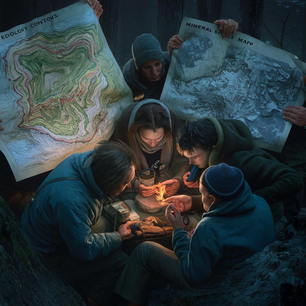
- US Mineral Location Maps:These maps could be invaluable in a survival scenario. Understanding where natural resources like water sources or minerals are located could guide you to essential supplies. For example, mineral maps might help identify places where natural springs or rivers are located, providing crucial access to water.
- Sunlight Averages Maps:Knowing the average sunlight in a region can help determine the best routes and timing for travel, especially in extreme weather conditions. In colder climates, traveling during the warmer parts of the day could prevent hypothermia, while in hotter regions, knowing when to seek shade is critical.
- Ocean Tide Maps: For those near coastlines, ocean tide maps are essential. Understanding tidal patterns can prevent you from getting stranded or caught in rising waters. They also provide crucial information for fishing, a vital skill in survival situations.
- Geology and Cavern Maps:These maps are crucial for understanding the terrain and finding shelter. In areas prone to harsh weather, caverns and natural shelters marked on geological maps can provide protection from the elements. Moreover, understanding the geology can help avoid hazardous areas prone to landslides or other geological hazards.
- Forestry Maps:Knowing where forests are located can provide access to natural resources like wood for building fires and shelters or foraging for food. However, they could also help you avoid getting lost in dense woods, where the risk of disorientation is high.
If you find yourself navigating on foot with only a map, there are several basic items that can make your journey more successful:
- Compass: A compass is essential for determining direction and ensuring you stay on course.
- Water and Water Purification Tablets: Dehydration is a major risk, so having water and means to purify additional water is crucial.
- First Aid Kit: Injuries can happen, especially when traversing unfamiliar terrain. A basic first aid kit can treat minor injuries and prevent infections.
- Weather-Appropriate Clothing and Footwear: Durable, waterproof boots and layered clothing can protect against the elements.
- Knife or Multi-Tool: Useful for a variety of purposes, from cutting rope to preparing food.
- Fire-Starting Kit: Matches, a lighter, or a flint can help start a fire for warmth, cooking, or signaling for help.
- Signal Mirror and Whistle: If lost, these items can help signal for help.
- Portable Shelter or Tarp: Provides protection from rain or cold when no natural shelters are available.
In a world increasingly dependent on digital technology, the importance of understanding and having access to physical maps and atlases cannot be overstated. In a crisis where digital tools fail, these maps, coupled with basic survival gear, could be the key to finding safety and ensuring survival. Preparing with the right knowledge and tools today could make all the difference tomorrow.